Data Visualization Series IV: Create Interactive Map in R
2017-09-14
I used maps package in R in 2016 to make a geographical map and color the regions according to variable values, and then make an animation. For more details see here.
Today, I want to introduce you to leaflet package in R to make interactive map. For more details see here.
We could make maps as below:
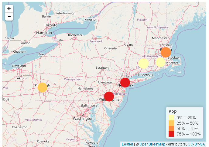
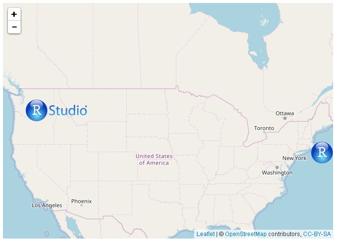
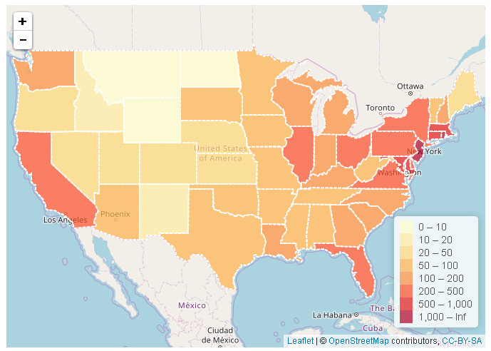
If you want to make interactive maps like above pictures, please click here.
Welcome your advice and suggestion!
Just record, this article was posted at linkedin, and have 20 views to November 2021.